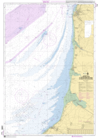
French Chart - 7416 Abords Sud de Boulogne-sur-Mer - Du Tréport à Boulogne-sur-Mer Code: SH7416 £26.95 ex VAT QuantityQtyAdd to Cart
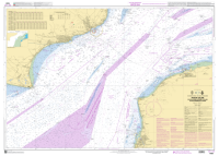
French Chart - 6683 Port du Havre - Entrée du chenal de Rouen Code: SH6683 £26.95 ex VAT QuantityQtyAdd to Cart
French Chart - 7417 Abords de Fécamp et de Dieppe - Du Cap d'Antifer à Dieppe Code: SH7417 £26.95 ex VAT QuantityQtyAdd to Cart
French chart - 7418 Abords du Havre et d'Antifer - Embouchure de la Seine - De Ouistreham au Cap d'Antifer Code: SH7418 £26.95 ex VAT QuantityQtyAdd to Cart
French Chart - 7323 Pas de Calais - De Boulogne-sur-Mer à Calais et de Dungeness à Dover Code: SH7323 £26.95 ex VAT QuantityQtyAdd to Cart
French Chart - 6857 - Du Cap de la Hague à Fécamp - Baie de Seine Code: SH6857 £26.95 ex VAT QuantityQtyAdd to Cart


 EUR (€)
 USD ($)

 Dutch
Dutch  French
  German
  Spanish